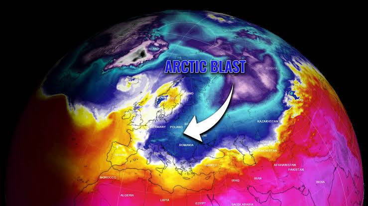
An Arctic cold front is making its presence felt across the western United States, ushering in a wave of chilly temperatures and light snowfall. As November approaches, this weather system is expected to bring slurries of snow to various regions, setting the stage for a wintry season ahead.
Currently, temperatures across the western states are fluctuating between a surprising 0°C to 30°C during the day, but nighttime sees a dramatic drop, with lows ranging from 20°C to -7°C. The Northwest and central regions are experiencing subzero temperatures, accompanied by humidity levels soaring between 60% to 90%. This high humidity has caused dew points to dip into negative territory, indicating a potential for cloudiness and occasional rain or snow.
Despite the arrival of the cold front, atmospheric pressure remains relatively stable, hovering between 1002 hPa and 1015 hPa. This suggests that while cold air is moving in, moisture levels are not yet sufficient to trigger continuous snowfall. However, meteorologists predict that as November progresses, snowfall is likely to blanket the western states, although the East may see a delayed onset of winter weather.
Residents are advised to prepare for these fluctuating conditions, as the southwest region might experience brief warm spells before settling into the colder temperatures that define this time of year. As the Arctic air mass continues to push southward, the western USA can expect an increase in cloud cover and a heightened chance of snow events by the month’s end.
Stay tuned for further updates as this winter weather pattern unfolds across the country.
Winter’s Chill Arrives: Arctic Cold Front Brings Snow to the Western USA
- Trending
- Comments
- Latest